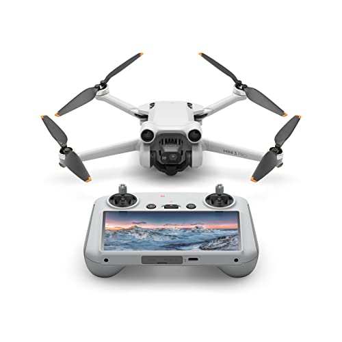
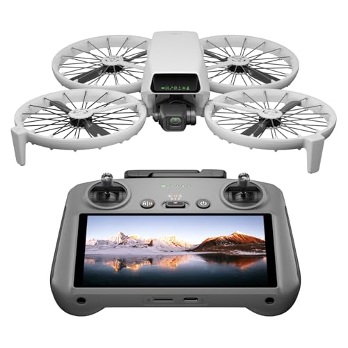
Which brands make the best drones with GPS?
The best drone brands with GPS are as follows:
- Autel (Average overall score: 8.2)
- DJI (Average overall score: 7.8)
- Fimi (Average overall score: 7.2)
The chart below ranks GPS drone brands by average overall score.
[horizontal-chart-11093781648212255806004713729707348465043832962177]
Which GPS drone brands have the highest user ratings?
The GPS drone brands with the highest user ratings are as follows:
- DJI (Average users rating: 9.4)
- Potensic (Average users rating: 9.2)
- Holy Stone (Average users rating: 8.9)
GPS drone brands and their average users rating are shown in the chart below.
[horizontal-chart-02508676626739006042124131214058015743953620398269]
Who should consider buying a drone with GPS?
A drone with GPS is worth buying for pilots who want steadier outdoor control, easier recovery features, and more predictable route behavior.
Beginner and intermediate pilots gain the most when they need position hold and reliable Return to Home during regular outdoor flights. GPS support reduces drift stress and helps keep flights more controlled in open areas.
Content creators and travel users also benefit because GPS enables cleaner hover shots, smoother tracking behavior, and easier re-framing after directional changes. Long-distance and higher-wind flights especially benefit from stronger navigation support.
Casual indoor users or toy-level buyers may not need GPS if budget is very tight. In those cases, simpler short-range models can still work for basic practice.
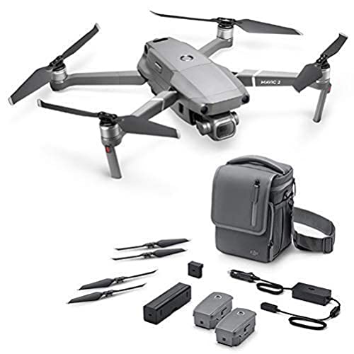
How much do good drones with GPS cost?
The best drones with GPS cost about 60-£6,000.
GPS drone pricing usually falls into clear tiers: around 60-£260 for entry-level GPS basics, about 300-£1,300 for stronger all-round consumer performance, roughly 1500-£2,600 for advanced creator options, and around 3000-£6,000 for high-end enterprise platforms.
Price differences mainly come from camera system quality, obstacle sensing coverage, transmission system class, and build/payload capability. Higher tiers also add better wind handling and more robust mission workflow tools.
What does GPS do on a drone?
GPS on a drone provides location-based stabilization, navigation reference, and automated recovery support for safer and more predictable flights.
GPS functions on drones are the following:
- Position hold: GPS helps the drone maintain a fixed point when pilot input is neutral. This reduces drift and makes hovering easier for framing and inspection work.
- Return to Home: GPS enables automatic return logic when signal is lost, battery is low, or the pilot triggers it manually. This is one of the most useful safety functions in real outdoor use.
- Route consistency: GPS supports waypoint-based route repeatability on compatible systems. Repeated passes are useful for surveying, inspections, and controlled content capture.
- Tracking support: GPS contributes to steadier subject-follow behavior when tracking features are active. It helps maintain direction and smoother path correction in motion.
- Location metadata: GPS data can be tied to media or flight records in many ecosystems. This improves workflow traceability for professional and technical use cases.
How accurate is GPS positioning on drones?
GPS positioning on drones is usually accurate enough for stable hover control and reliable return behavior, but precision still depends on signal quality, environment, and sensor fusion.
GPS drone accuracy is typically strongest in open sky conditions, where many models hold horizontal position close to the 0.1-0.3 m class when specifications are available. Real-world accuracy degrades near buildings, trees, and reflective surfaces, so practical position error can widen during complex urban flying.
Professional and advanced models improve consistency by combining GNSS support, inertial sensing, and onboard control logic. Pilots should treat GPS as a stability tool rather than centimeter-level precision unless the platform includes dedicated high-precision positioning workflows.
What safety features do GPS drones support?
GPS drones support stronger safety coverage than basic non-GPS models because navigation data enables automated recovery logic and more stable control behavior.
Key safety features on GPS drones are the following:
- Return to Home: GPS-enabled models commonly include automatic return behavior on signal loss, low battery, or manual trigger. This is the core safety layer for reducing flyaway risk.
- Stable hover: Position hold reduces unplanned drift during pauses and framing corrections. Better hover stability gives pilots more time to react to unexpected obstacles.
- Geofencing support: Many ecosystems apply location limits and airspace warnings tied to GPS position. This helps reduce accidental flights in restricted zones.
- Obstacle detection: About four in ten GPS drones in this scope also include obstacle detection, usually in front-facing or multi-direction setups. This adds a second safety layer beyond pure navigation.
- Tracking control: GPS-assisted tracking can keep more predictable subject-follow routes. Safer tracking still requires clear airspace and conservative speed settings.
- Emergency handling: GPS data improves post-event traceability and can simplify recovery decisions after link instability. It is useful for both casual pilots and professional teams.
How good are flight time and range on GPS drones?
Flight time and range on GPS drones are generally strong, with broad coverage from light beginner models to long-range professional platforms.
GPS drone endurance usually spans about 10-50 minutes, while transmission distance can range from roughly 0.2 km on basic options to around 30 km on advanced systems. Real-world outcomes depend heavily on wind, flight speed, and video link conditions rather than headline lab values alone.
Higher-end GPS models hold performance better in tougher weather, with wind resistance commonly extending up to about 17.5 m/s. Practical range and endurance improve most when pilots manage speed, keep line of sight, and rotate batteries with mission planning discipline.